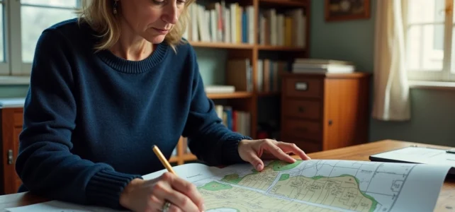
Are you looking to find out who owned a piece of land before you, or how a large plot has been divided over the decades? The answer is rarely found in a single document. The history of a cadastral plot relies on several sources, each with its own limitations. Understanding where each tool begins and ends helps avoid wasting time on platforms that will never deliver the sought-after information.
What the online cadastral plan really shows – and what it hides
The most common reflex is to open the site cadastre.gouv.fr or the platform cadastre.data.gouv.fr to consult the plan of a municipality. Here you can find the current parcel breakdown, sections, buildings, and decorative elements. This data is open: it can be viewed, downloaded, or even integrated into GIS software to cross-reference the plot with other layers of public data (urban planning zoning, easements, environmental constraints).
Where many individuals go wrong is in thinking that this plan tells the history of the land. The cadastral plan only provides the current snapshot. It does not indicate who owned the plot twenty years ago, nor how it has been re-divided. To go back in time, another document is needed: the cadastral matrix.
Cadastral documentation, as the Public Service reminds us, includes both the plan and the matrices. The matrices list successive owners, transfers, and any divisions. You can request this from the local land tax office of the municipality in question, or try to find the history of a cadastral plot online through digital services when available.
Have you ever noticed that a plot number changes after a sale or subdivision? This is the trace of a parcel lineage. The current plot descends from one or more “parent parcels.” Reconstructing this genealogy is possible with computerized lineage data, but these data do not always go back beyond the digitization of the cadastral records. For older periods, you must turn to the departmental archives.

Cadastral matrix, land publicity, and notary: when to switch to each source
The cadastral system has a fiscal purpose. It is used to calculate property tax, not to guarantee who is the owner. This distinction has direct consequences on the reliability of the history obtained.
The cadastral matrix identifies the apparent owners, those known to the tax administration. It does not prove ownership in the legal sense. To obtain a history that is enforceable against third parties, one must turn to the land publicity service (formerly the mortgage registry).
The land publicity service issues a document called a mortgage statement. This report traces the successive transfers of a property, current mortgages, and registered easements. It is the only source that holds weight in case of a dispute.
Here’s how to choose the right source based on your needs:
- Check the current owner and approximate boundaries: the online cadastral plan and the cadastral matrix are sufficient. This is free or low-cost.
- Trace sales and divisions over several decades: request a mortgage statement from the land publicity service. This document is paid and requires providing the exact cadastral references.
- Validate the physical boundaries of a plot before a purchase: involve a surveyor for a contradictory boundary marking. The cadastral plan has no legal value for property boundaries.
- Obtain the complete history in the context of an inheritance or sale: go through a notary, who will query both the land publicity and the archives to establish the ownership origin for at least thirty years.
A common pitfall: believing that the online cadastral system is sufficient to prove a right of way or an easement. This information is neither on the plan nor in the matrix. Only the mortgage statement or the notarial deed mentions them.
Cross-referencing cadastral data with public mapping portals
The raw cadastral data says nothing about the constraints affecting a plot. However, by cross-referencing parcel data with other layers of public information, you can obtain a more complete picture without waiting for an appointment with a notary.
State mapping portals allow you to overlay the cadastral plot with urban planning documents (PLU, municipal map), natural risk zones, protection perimeters for historical monuments, or protected agricultural areas. This data cross-referencing reveals constraints that are invisible on the cadastral plan alone.
Let’s take a concrete example. You spot a buildable plot on the cadastral map. By cross-referencing it with the local urban planning plan, you discover that it is located in a flood zone or within a protection perimeter. This information radically changes the value and possible use of the land, and it does not appear anywhere in the standard cadastral documentation.
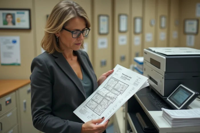
Open cadastral data, structured in standard format, facilitates this process for planning professionals or geomaticians. They can be integrated into GIS tools and automatically cross-referenced with other public datasets.
For an individual, the process remains more manual: you must successively consult the cadastral plan, the urban planning geoportal, and possibly the natural risk portal. But this three-step verification takes less than an hour and can prevent an unpleasant surprise during a purchase.
Limitations of online research and when a professional becomes necessary
Online research has a ceiling. Computerized lineage documents do not cover the entire history of French land ownership. For plots with transfers that date back to before digitization, you must consult paper records at the departmental archives or the mortgage registry.
Another limitation: notarial archives and those of surveyors are not always digitized. If you are looking for the origin of a rural plot that has not changed hands for decades, the online trail may stop quickly.
Consulting a notary or a surveyor remains essential in three situations: a boundary dispute with neighbors, a complex inheritance involving parcels from old divisions, or a purchase project on land whose online history has gaps. The cost of this intervention is justified by the legal security it provides, where the online cadastral system only offers an administrative indication.
The best approach is to first exhaust the free online resources (cadastral plan, matrix, mapping portals), then precisely target what is missing before consulting a professional. Arriving at a notary with the cadastral references, available lineage data, and already identified urban planning constraints saves time and reduces costs.